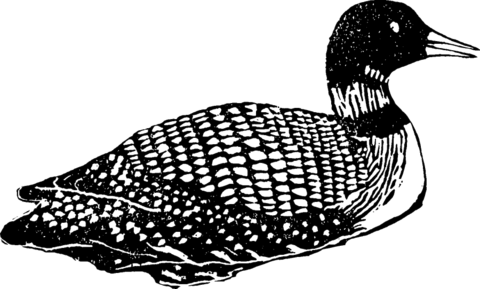
Kvarken Log app
Kvarken Log test scan. June 2026.
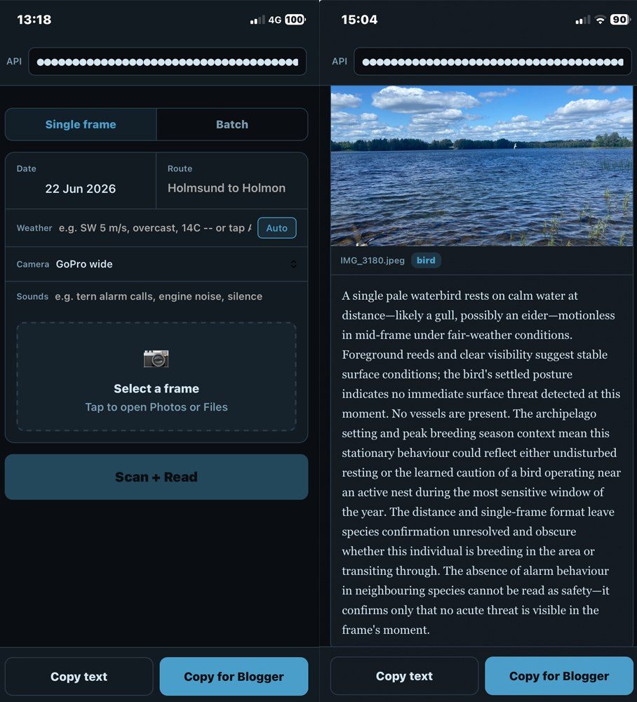
I’ve been building a field tool for the Godzilla expedition. A GoPro on the bow takes a photograph every 60 seconds through the day. Each evening I run them through a phone app I built with Claude.
The readings aren’t about the birds. They’re about the place. Where a bird settles, how long it stays, whether it dives or when it moves on, all of it is a response to the water and the weather.
Divers hunt by sight, so they need clear water. But a bird diving may not be feeding, just getting away from the boat. There are no givens, so absence matters too.
GPS runs alongside it, and the weather goes in: wind, pressure, cloud. There’s a sounds field for what the camera missed. Each reading has a position, a time and a weather state.
The app uses a vision model to scan every frame. It works through hundreds at once and catches things I would miss. It also gets things wrong. It misidentifies birds at distance, it can’t hear anything, and it works from one flat image. The readings are a starting point, not a record.
I’m not speaking for the bird. A diver reads the water through sight, sound and pressure. The photograph catches one of those.
I’ll post the readings here as we go.